

Coordinates handled the way the datums demand.
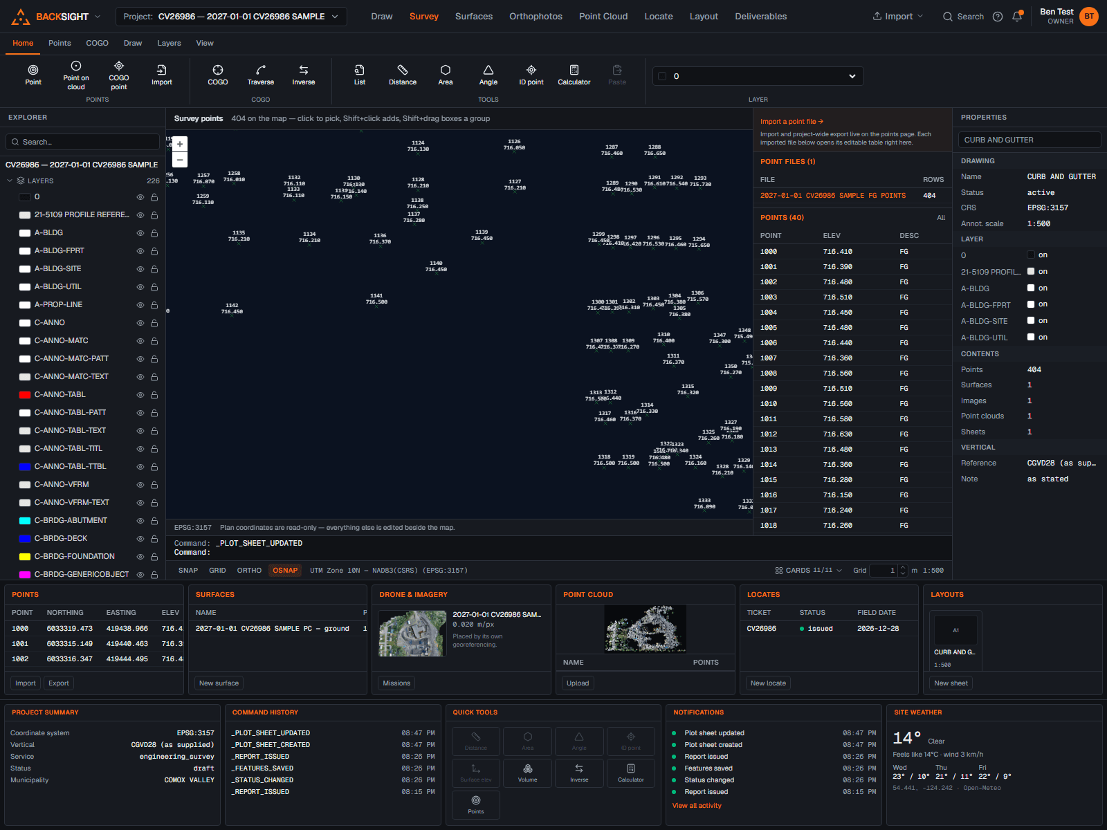
Canadian georeferencing is full of detail, NAD83 realizations, zone conventions, epochs, geoids. Backsight handles all of it explicitly, and reports every transformation in full.
Realizations are distinct
NAD83 Original, NAD83(CSRS), WGS 84 and ITRF are different frames, and Backsight keeps them apart. Edmonton 3TM-114 on NAD83 Original is EPSG:3776; the CSRS variant is its own deliberate selection.
Epochs are explicit
Dynamic frames and time-dependent transformations take an explicit epoch, because a coordinate carries the moment it refers to.
Heights through verified geoids only
No orthometric height without a geoid model you installed, checksum-verified against the pinned NRCan source. CGG2013, CGG2013a and HT2_2010 are catalogued individually because they are not interchangeable.
Grids you control
You choose which transformation grids are installed, and each one is recorded with its checksum and licence, so months later you can show exactly which grid produced a result.
Every result reproducible
Operation name, pipeline, accuracy, area of use, library versions and a reproducibility id travel with every calculation, run it again next year and get the same answer or a stated reason why not.
Native PROJ underneath
All geodetic computation runs on native PROJ in a dedicated worker, the same machinery national agencies use, not a JavaScript approximation.