

Surfaces you can defend in a dispute.
Surface numbers are exact. Volumes are prismatic on the triangulation itself rather than grid-sampled, and every result carries its vertical reference, its method and a reproducibility id.
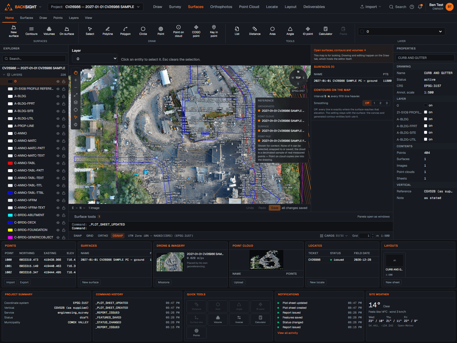
TINs with breaklines enforced
Delaunay triangulation from your points, with breaklines woven in so no triangle crosses one, toe of slope, crown of road, top of bank all honoured.
Exact volumes, both kinds
Against a datum: triangles crossing it are split along it, cut and fill separated. Between two surfaces: the triangulations are overlaid with every edge of both enforced, the difference integrates exactly, and pieces where the surfaces cross split at the true zero line.
Find what changed
Two surfaces of the same ground in, a list of changed regions out: each connected place that rose or dropped more than your threshold, outlined along its toe or crest, with an exact volume inside that outline. The outlines land on a layer as ordinary polygons, ready to check, edit or plot.
Contours that are true
The exact intersection of the surface with level planes, chained, optionally smoothed for display, labelled, and stopping at the edge of your data instead of inventing ground.
Alignments and profiles
Tangent-and-curve alignments from PIs and radii, stationing, station/offset both directions, existing-ground profiles from any surface and design profiles with parabolic vertical curves.
Cross sections and end areas
Sample lines along an alignment, sections cut from the surface, and end-area volumes computed the way the checker expects to check them.
Nothing extrapolated
Elevations come from the triangle that contains the point. Boundaries clip volumes to exactly the polygon you drew, and every answer says how it was reached.