

Points with provenance, from field book to plan.
Every point remembers where it came from. Imports keep the original file byte-for-byte, edits are audited, and the plan styles itself from your description keys, field to finish, honestly.
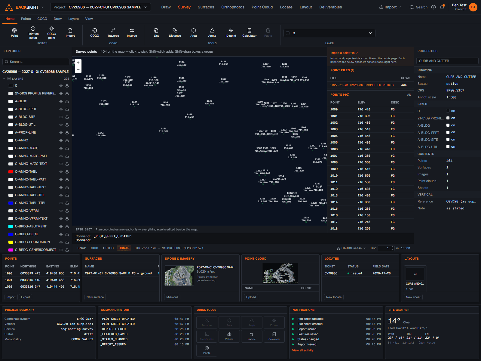
Imports that keep the original
CSV and delimited files with column mapping, encoding control and per-row validation. The uploaded file is preserved unchanged with a checksum, so the source of every coordinate can always be produced.
Editing with an audit trail
Pick points on the map, one, or a boxed group, and edit number, description, code, height and display in bulk. Plan coordinates and originals are immutable at the database; every change is audited.
Description keys and display styles
A 345-key catalogue styles points from their codes; marker presets, per-point overrides and organization-defined styles keep one look from canvas to plot.
Figure coding
Field-to-finish linework: begin/continue/close codes in your descriptions become drawn figures on the right layers, so the linework appears the way the crew coded it.
COGO and adjustment
Traverse, inverse, bearing-bearing intersection, point by bearing and distance, and a least-squares network adjustment that reports σ₀ and residuals rather than hiding them.
Exports with checksums
Delimited exports from saved templates, checksummed and recorded, with transformation runs reproducible by id.