

Drone and LiDAR, beside the drawing they serve.
The flight, the cloud and the ortho live in the same app as the plan, on the project's own grid.
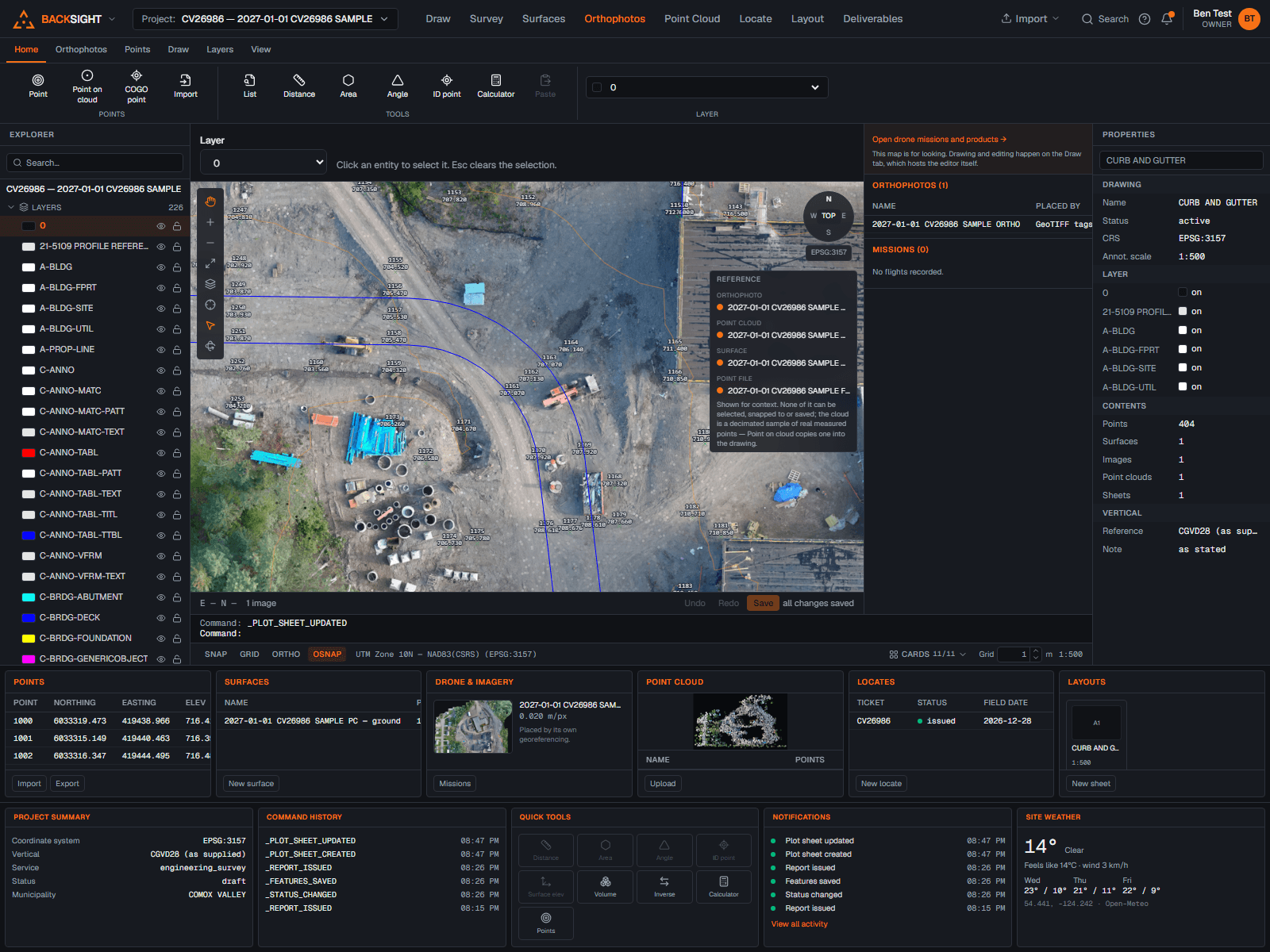
Missions and ground control
Plan drone missions per project, manage ground control points with their coordinates and quality, and QC the products that come back before anything downstream uses them.
Orthophotos on the drawing
GeoTIFF orthophotos referenced under your linework at their stated position, clipped to a drawn polyline when only part of the frame belongs, and draped over surfaces for review.
Point clouds from any scanner
LAS, LAZ, E57, PLY and XYZ/PTS all come in, E57 scan poses applied, coordinates carried to the millimetre. A CRS declared inside the file is reported for you to confirm.
Classification, colour and clipping
View by elevation, by classification or in the cloud's own RGB, the choice saves with the cloud and follows it onto the drawing. Turn display density up on demand, right to every point in the view, clip to the area that matters, and build surfaces from ground or from any class the file carries.
Change detection, region by region
Compare two visits of the same ground and every place that rose or dropped is found, outlined at its toe or crest, named, and measured on its own with the exact overlay volume, each pile and each cut as a line in a list, not one number for the site. Runs are kept, so a region is followed from period to period.
Honest georeferencing
Imagery and clouds carry their stated reference; mismatches are surfaced for a decision instead of being papered over. Nothing in the stack reprojects behind your back.