
Importing survey points
Get a points file in, map the columns, and know exactly what was accepted.
5 min read
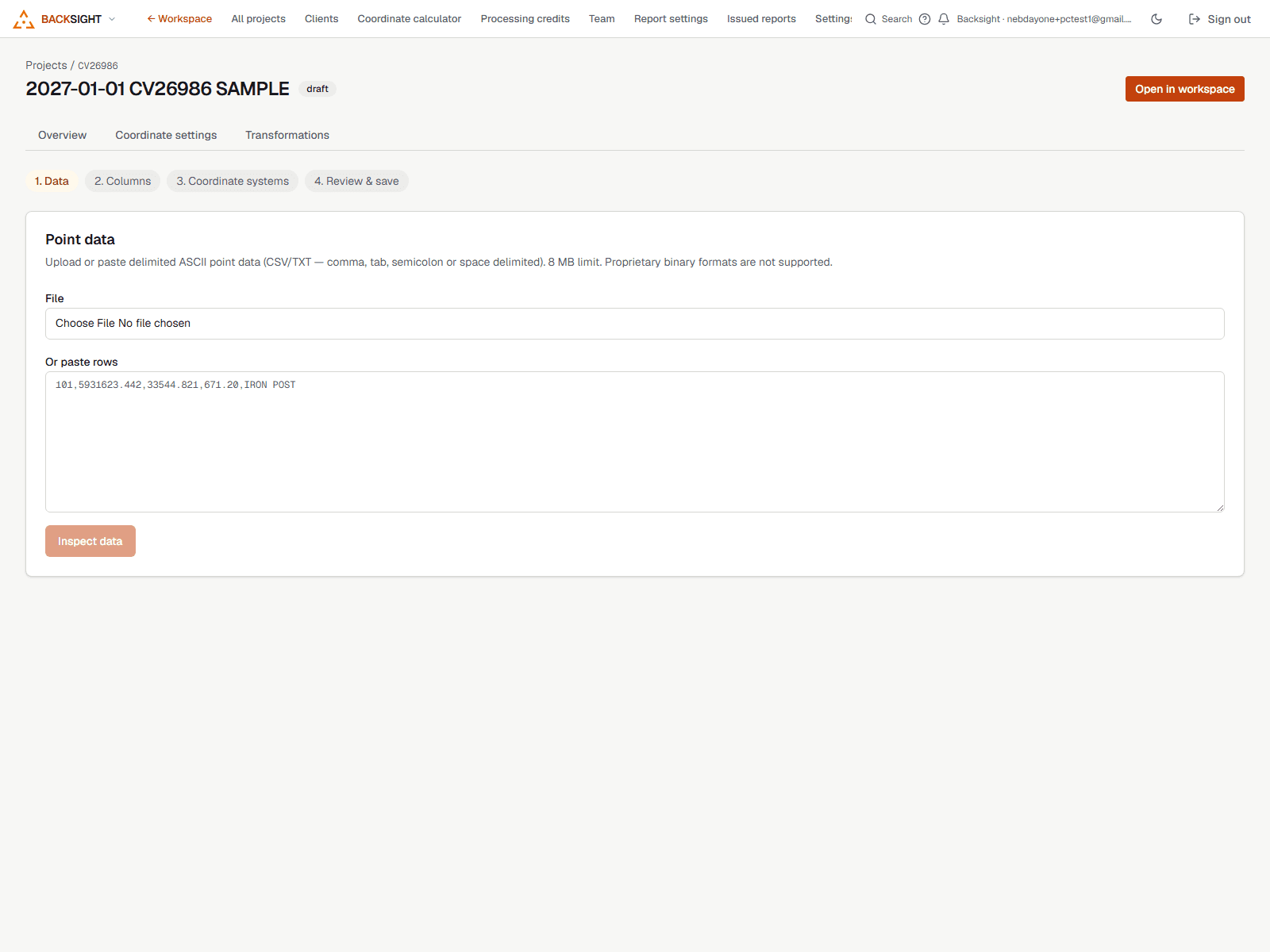
What Backsight reads
Delimited text: CSV, TXT, comma, tab, space or semicolon separated. The usual survey orders, PNEZD, PENZD and anything else, are handled by mapping the columns yourself rather than guessing at a convention.
Importing
- Import (top bar, any mode) → Survey points, or Points mode → Import points.
- Choose the file. Backsight shows the first rows exactly as they read.
- Map each column: point number, northing, easting, elevation, description. Anything you leave unmapped is kept with the point rather than thrown away.
- Check the preview, coordinates, count, and anything that could not be read.
- Import. You get a point group named after the file.
Keep the original
The rows as delivered are preserved with the dataset. If a mapping turns out to be wrong you re-map rather than re-import from an email attachment you have to go and find.
What gets refused, and why
- A row whose coordinates will not parse is reported by line number rather than silently dropped.
- A duplicate point number is reported so you can decide, rather than overwritten.
- A file whose columns do not match what you mapped is refused before anything is written.
After the import
- Points appear in Points mode on the map and in the points table.
- Description keys style them automatically from their field codes.
- Field-to-finish can draw linework from the codes.
- They are available to build surfaces from, and to draw against in Draw mode.
Read next
- Description keys: symbols from field codesA shot coded 460 draws as a hydrant before anybody opens a picker. Here is how that works and how to override it.
- Editing points, one or a thousandChange a description, an elevation or how a point looks, for one point or every point you have selected.
- Field-to-finish: linework from point codesTurn coded shots into figures: curbs, fences, edges of pavement: without drawing them by hand.
Something here wrong or missing? Tell us and we will fix it.